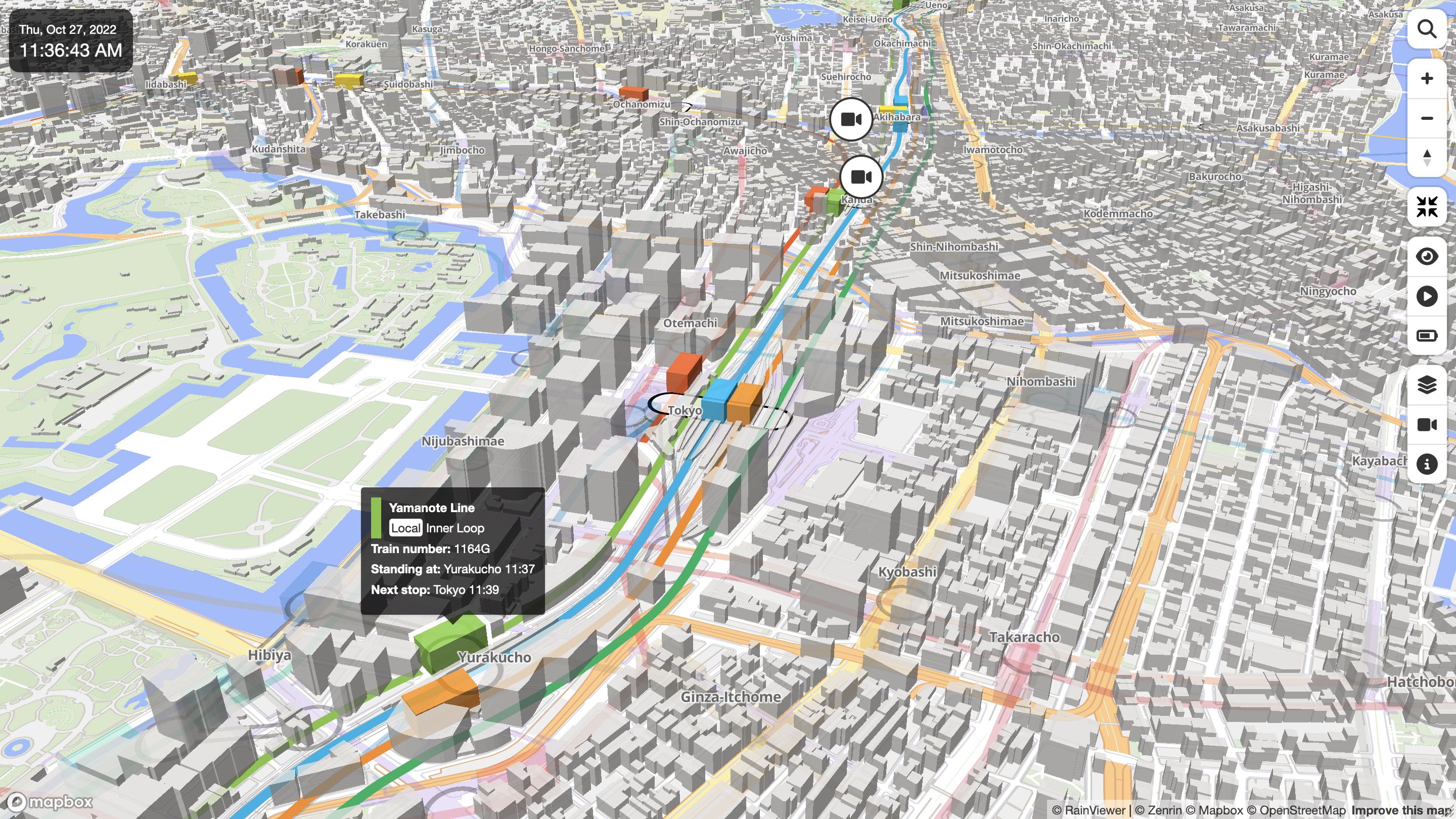
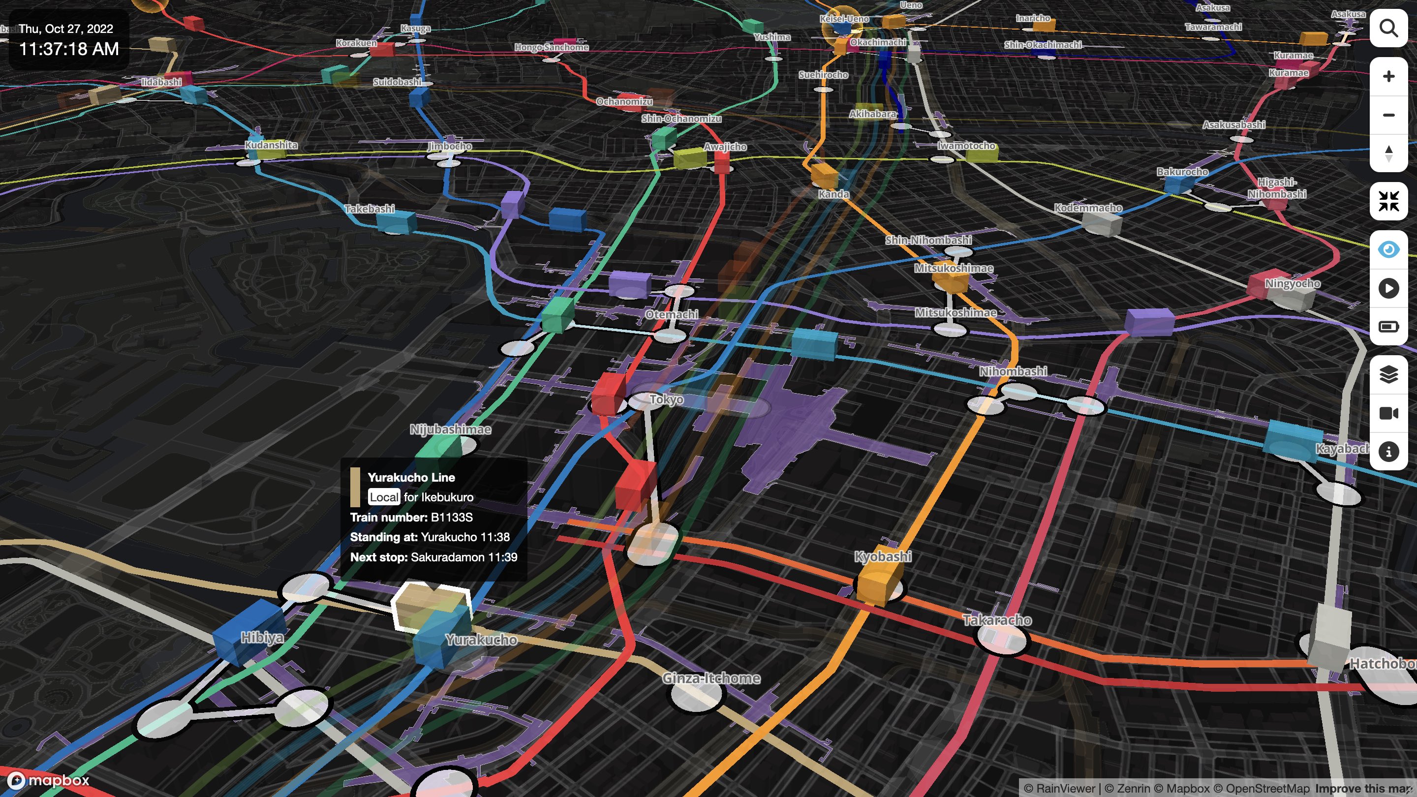
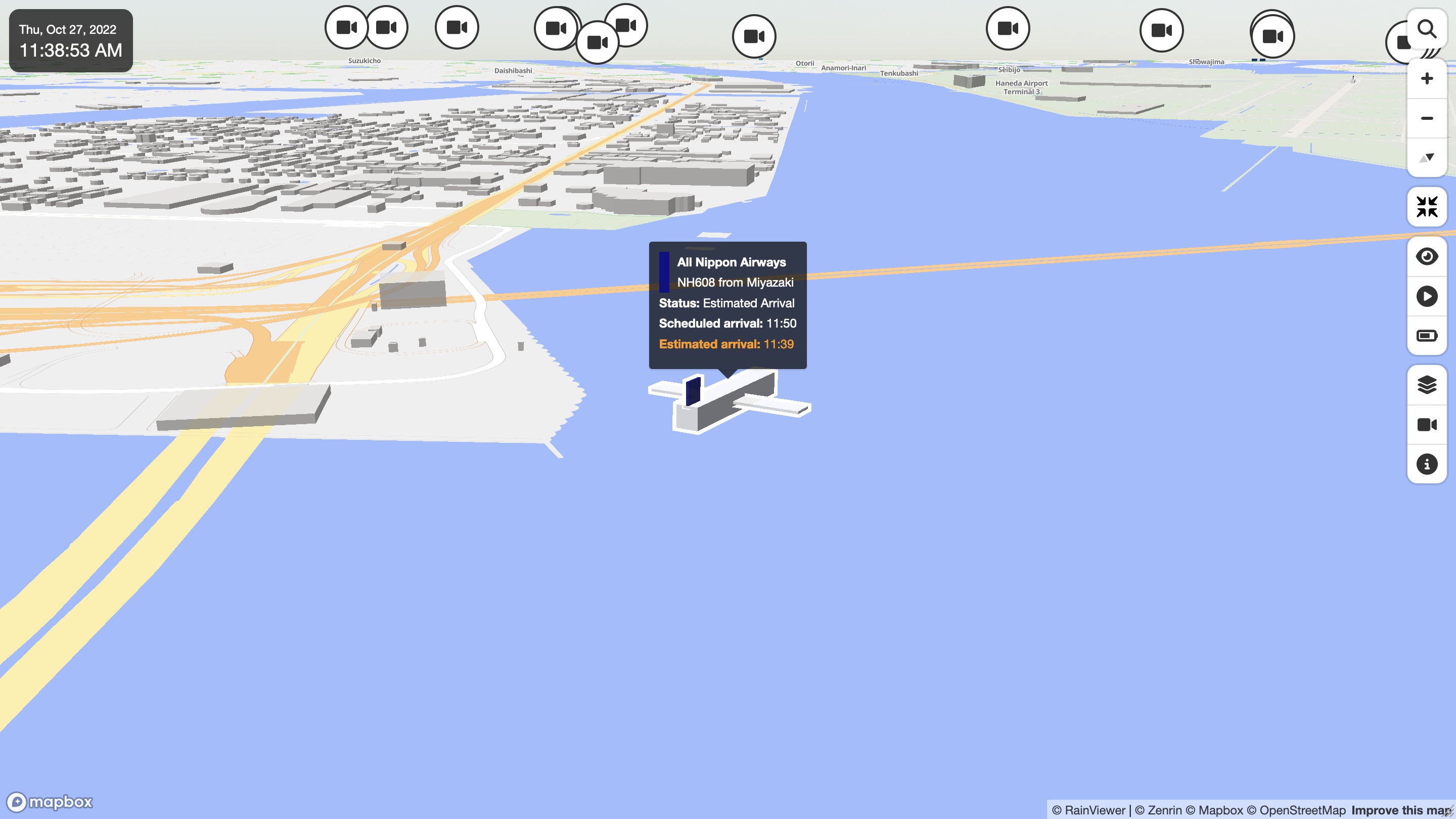
An open-source entry in TopGit's GitHub warehouse: nagix/mini-tokyo-3d, 4.3k stars, JavaScript. A real-time 3D digital map of Tokyo's public transport system
Snapshot summary built from the project's own GitHub metadata — there's no written TopGit review yet. The page will update automatically when a full review is published.
WHY NO REVIEW YET
TopGit writes full reviews for the most-starred, most-requested repositories. This page is a snapshot until then — see the READ ME tab for the original README in full.
A real-time 3D digital map of Tokyo's public transport system.
See a Live Demo.
Demo Videos
Demo Video (2025, English)
Demo Video (2025, Japanese)
Demo Video (2021, English)
Demo Video (2021, Japanese)
Demo Video (2019, English)
Demo Video (2019, Japanese)
User Guides
User Guide (English)
User Guide (Japanese)
User Guide (French)
User Guide (Simplified Chinese)
Developer Guides
Developer Guide (English)
Developer Guide (Japanese)
Developer Guide (French)
Developer Guide (Simplified Chinese)
Cheat Sheet
Operation
Description
Mouse or finger drag
Pan
Mouse wheel rotation
Zoom in/out
Right click or Ctrl key + mouse drag
Tilt up/down and rotate
Shift key + mouse drag
Box zoom
Pinch in/out
Zoom in/out
Two-finger drag
Tilt up/down and rotate
Double-click or triple-tap
Zoom in
Shift key + Double-click or two-finger tap
Zoom out
Click or tap the search button
Show/hide the route search panel
Click or tap +/- buttons
Zoom in/out
Click or tap the compass button
Reset bearing to north
Click or tap the compass button + mouse or finder drag
Rotate
Click or tap the fullscreen button
Toggle the fullscreen mode
Click or tap the eye button
Toggle the underground mode
Click or tap the playback button
Toggle the playback mode
Click or tap the battery button
Toggle the eco mode
Click or tap the layer button
Show/hide the layer display settings panel
Click or tap the camera button
Show/hide the tracking mode settings panel
Click or tap the info button
Show/hide the app info panel
Click or tap a train/aircraft/station
Enable tracking or select station
Click or tap the map
Disable tracking or deselect station
Hover a train/aircraft/station
Show the train/aircraft/station information
Language Support
Currently, the following languages are supported. Any help or contribution with translations and additional language support is always greatly appreciated.
Language
User Interface
Map Labels
Stations, Railways, Airlines, etc.
User Guide
English
Yes
Yes
Yes
Yes
Japanese
Yes
Yes
Yes
Yes
French
Yes
Yes
Yes
Yes
Chinese (Simplified)
Yes
Yes
Yes
Yes
Chinese (Traditional)
Yes
Yes
Yes
-
Korean
Yes
Yes
Yes
-
Thai
Yes
-
-
-
Nepali
Yes
-
-
-
Portuguese (Brazil)
Yes
-
-
-
Spanish
Yes
-
-
-
German
Yes
-
-
-
If you want to contribute, please start with translating the UI messages in the dictionary-<ISO 639-1 code>.json file in the data directory. Then, if you have extra energy, add the title of each item in your language to airports.json, flight-statuses.json, operators.json, poi.json, rail-directions.json, railways.json, stations.json, train-types.json in the data directory.
About Data
The data for this visualization are sourced from the Public Transportation Open Data Center, which includes station information and train timetables as well as real-time data such as train location information and status information of multiple railway lines in the Greater Tokyo area.
How to Build
First, get access tokens for the public transportation data and map tiles by signing up at the Public Transportation Open Data Center and Mapbox. At the Public Transportation Open Data Center, you need to get both tokens for ODPT Center and Challenge 2026.
The latest version of Node.js is required. Move to the root directory of the application and install the dependencies.
npm install
Provide the access tokens through environment variables and run the build. The script, dataset and static web page will be generated in the build directory.
MAPBOX_ACCESS_TOKEN=<Mapbox access token> \
MT3D_SECRET_ODPT=<access token for Public Transportation Open Data Center> \
MT3D_SECRET_CHALLENGE=<access token for Open Data Challenge for Public Transportation 2026> \
npm run build-all
Finally, place all the files in the build directory on your web server.
See the Developer Guides for more details.
License
Mini Tokyo 3D is available under the MIT license.
Supporting Mini Tokyo 3D
Your support, large or small, helps keep this project strong!
nagix/mini-tokyo-3d has 4.3k GitHub stars — refresh the page for the live number, or check github.com/nagix/mini-tokyo-3d. TopGit mirrors GitHub's count but does not claim minute-by-minute accuracy.
Is nagix/mini-tokyo-3d open source?
Yes — nagix/mini-tokyo-3d ships under the MIT license, which makes its source code freely readable (and, depending on license terms, forkable and reusable). Source: github.com/nagix/mini-tokyo-3d.
What is nagix/mini-tokyo-3d?
nagix/mini-tokyo-3d (nagix/mini-tokyo-3d) is a JavaScript project on GitHub. From the project's own README: A real-time 3D digital map of Tokyo's public transport system
Where can I see nagix/mini-tokyo-3d in action?
The project maintains a homepage at https://minitokyo3d.com. The README tab on this page also usually contains screenshots and a quickstart.
Where do I read more about nagix/mini-tokyo-3d?
This TopGit page is a snapshot — the READ ME tab shows the project's own README content (links stripped, images preserved). The GitHub repository at github.com/nagix/mini-tokyo-3d is the definitive source.
Read full README in the tab above.
Curious whether mini-tokyo-3d is right for you?
Let ChatGPT, Claude, or Perplexity look into it — click below and see what AI actually says about mini-tokyo-3d.

 /mini-tokyo-3d